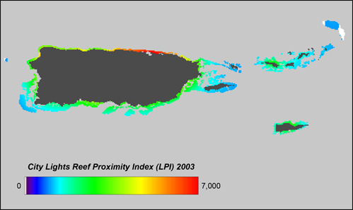
Coral Reefs Threatened By Artificial Night Lighting - Lights Proximity Index Files
Lights Proximity Index (LPI) values were calculated in three runs for 330 490 globally distributed point locations of coral reefs;
one run for cities and towns, generally referred to as development, one for gas flares and one for heavily lit fishing boats.
The output was three ENVI raster files with corresponding text files for each of the chosen reef stressors. The text files have
the structure as follows - longitude, latitude, reef location code - with an additional column for the LPI values. The raster files
refer to these text files having the value of one point location assigned to one grid cell with an area of one square kilometer.
Download (Files have been compressed with Tar and Gzip):
Cities || Boats || Flares
Location Code Lookup Table
Information on Tar and Gzip

Download (Files have been compressed with Tar and Gzip):
Cities || Boats || Flares
Location Code Lookup Table
Information on Tar and Gzip
