VIIRS Daily Mosaic
SNPP is the Suomi National Polar Partnership satellite flown by NASA and NOAA. It is the next generation polar orbiting satellite, collecting both daytime and nighttime data worldwide each day. The primary imager on SNPP is the Visible Infrared Imaging Radiometer Suite (VIIRS). The source data are produced in HDF5 format and are available through NOAA's CLASS archive. To reduce the data volume and to increase the usability of the data - NGDC has developed a service to geolocate VIIRS images. At this site we will provide access to daily mosaic of VIIRS daytime I-Band and nighttime DNB data globally.
The global png images are very large (86400 X 33601) and will not display properly in most browsers. It is recommended that you download the images to your local disk and manipulate with either GIS/Remote Sensing software or image viewing software like Photoshop or Gimp.
The global png images are very large (86400 X 33601) and will not display properly in most browsers. It is recommended that you download the images to your local disk and manipulate with either GIS/Remote Sensing software or image viewing software like Photoshop or Gimp.
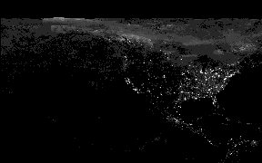
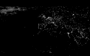
Index thumbnails for nighttime light image tiles
Showing default thumbnail|
Tile 1 (75N/180W)
|
Tile 2 (75N/060W)
|
Tile 3 (75N/060E)

|
|
Tile 4 (00N180W)

|
Tile 5 (00N/060W)
|
Tile 6 (00N/060E)
|
- Last Update: 05/07/2019/14:00:04