|
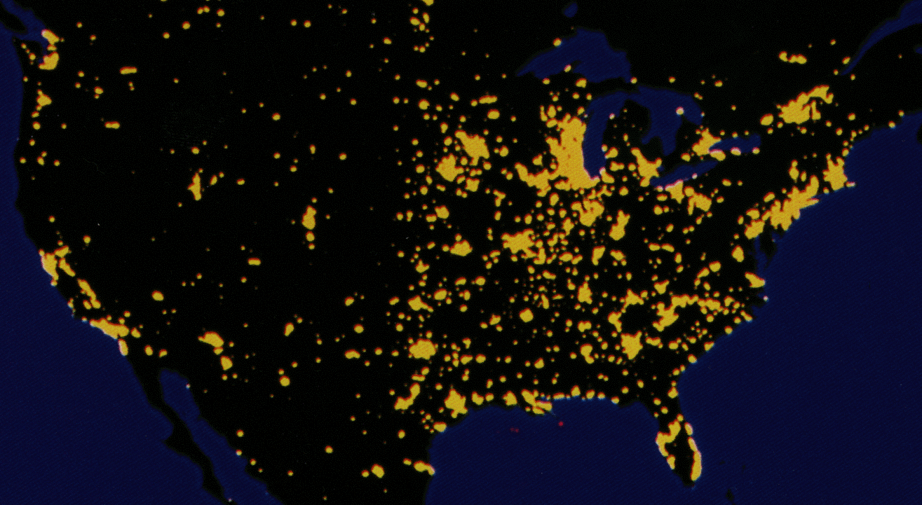
Early maps of nighttime lights derived from DMSP data were constructed using small numbers of visible band film strips. For Example: Sullivan, W.T. III, 1989, A 10 km resolution image of the entire night-time Earth based on cloud-free satellite photographs in the 400-1100 nm band. International Journal of Remote Sensing, v. 10, p. 1-5.
|
