|
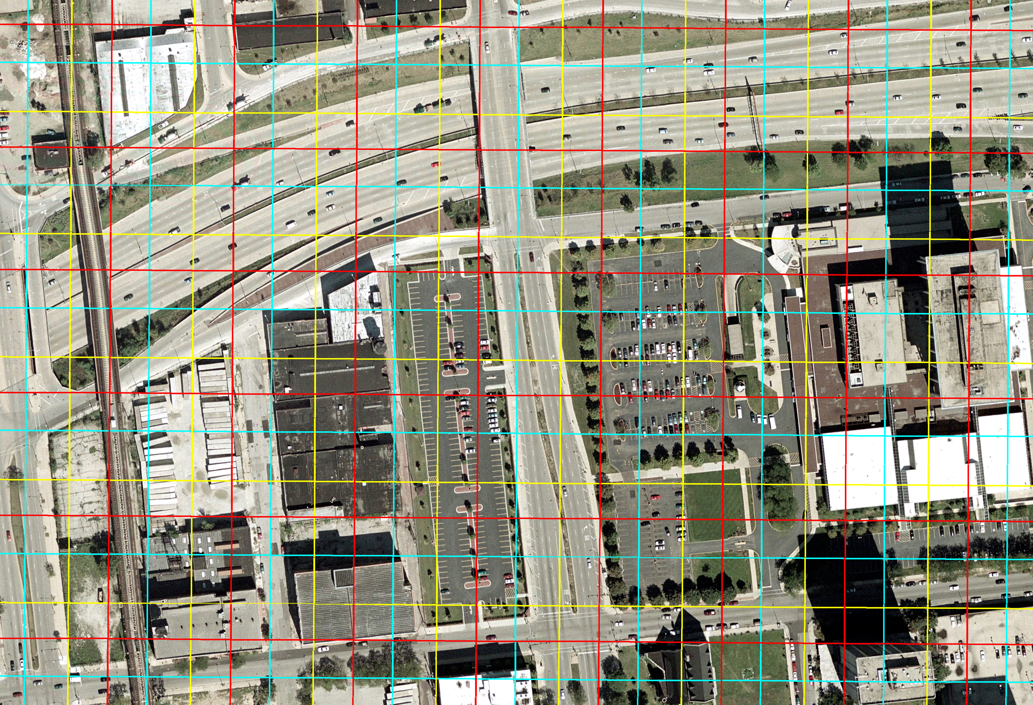
For calibration, development, lawn and tree cover are being measured
directly in a subsample of the area using aerial photography (1998-00)
acquired along transects crossing major metropolitan areas in each
region of the country. Each photo tile covers a 1Km Albers Equal Area grid cell.
|
|